Swift River - Alaska Highway km 1124Near the BC/Yukon borderIntersection of Alaska Highway & Fox Farm Road10km South of WhitehorseFish Lake Road, 10km west of Whitehorsenear Pumphouse LakeBeaver Creek Alaska Highway km 1901Only 22km from the border with Alaska (just a 30min drive)!Alaska Highway km 1650 - along Kluane LakeEastern boundary of Kluane National Park and ReserveAlaska Highway - km 968BC/Yukon border, 12km south of Watson LakeAlaska Hwy - km 1062east of Swift River, west of Watson LakeDempster Highway/Hwy 5 km 97114km North of Dawson City, within Tombstone Territorial ParkDempster Highway/Hwy 5 - km 244, along the Ogilvie RiverDempster Highway/Hiwy 5 - km 372Eagle River Bridge - 9km north of Eagle Plains (Hotel)Haines Highway/Hwy 3 - km 89.8 - on BC side of borderalong Tatshenshini-Alsek Provincial ParkNorth Klondike Highway/Hwy 2 - km 252North of Whitehorse, south of Carmacks, beside Braeburn LakeStewart River Crossing - Intersection of North Klondike Highway/Hwy 2 & Silver Trail
Right outside the North 60° Petro Gas Station & CardlockNahanni Range Road - km 105Nahanni Range Campground, Tuchitua remote site near the Hyland River, just west of the Nahanni
Natiaonal Park Reserve in NorthWest TerritoriesBearfeed Creek - Robert Campbell Hwy/Hwy 4 - km 562East of Carmacks, near Little Salmon Lake, west of FaroCarcross - South Klondike Highway km 106.5
Between Benvett Lake and Nares Lake, intersection of Tagish Road/Highway 8
S.Klondike Hwy - km 44.2 - on BC side of borderclose to Skagway AlaskaMayo - very end of the Silver Trail Highway - Km 49.5near the Stewart River, 52.5km north east of Stewart CrossingTutshi Lake - on BC side of borderSouth Klondike Highway/Hwy 2
Burwash - North ViewBurwash - East ViewBurwash - South ViewBurwash - West View Faro - Southeast View Faro - West ViewRoss River - Southeast ViewRoss River - West ViewHaines Junction - East ViewHaines Junction - Northwest View Swift River - Rancheria - Northeast View Swift River - Rancheria - West ViewCarmacks - Southeast ViewCarmacks - West ViewBraeburn NE ViewBraeburn South View
Miscellaneous Webcams
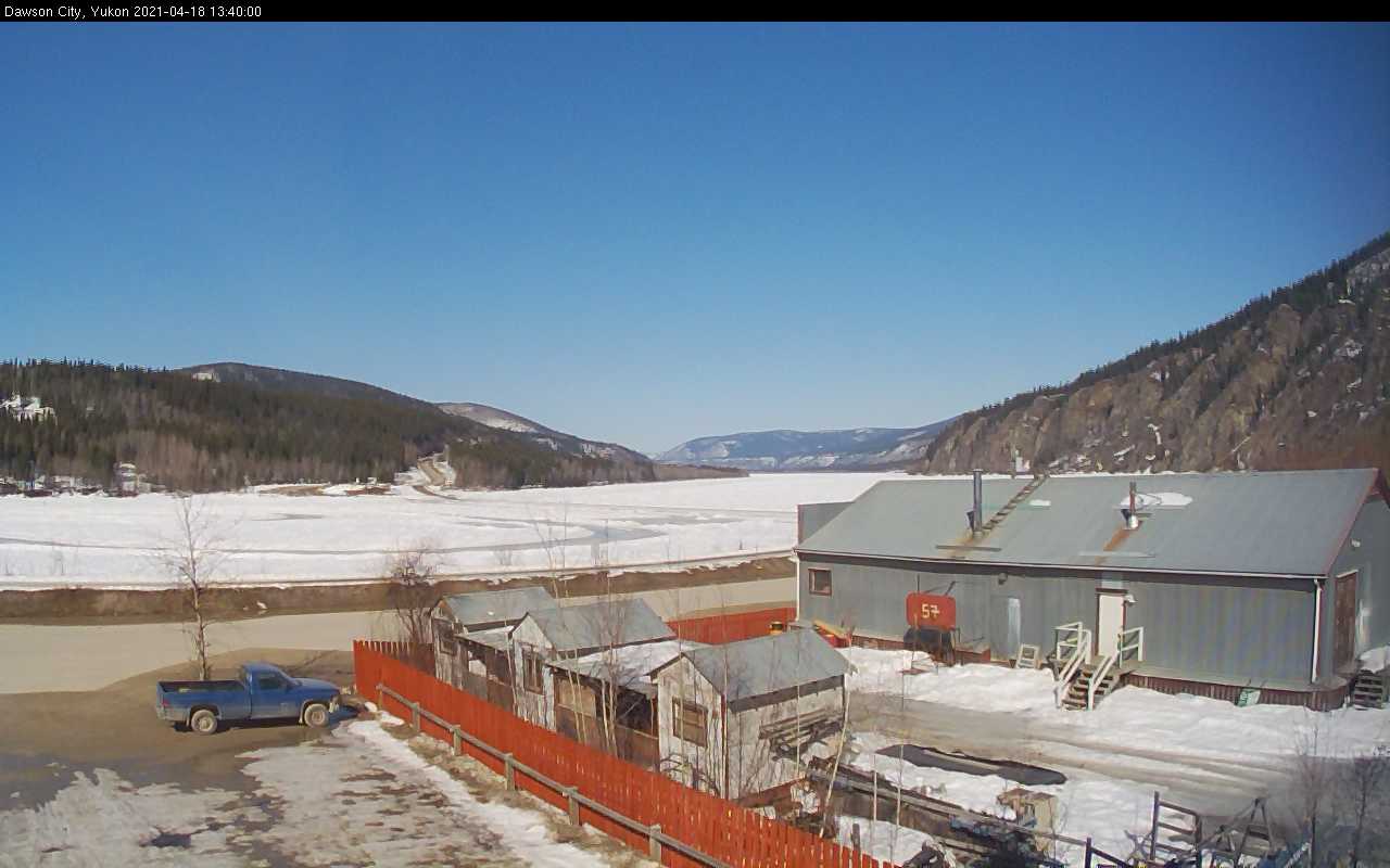
Hidden Valley Whitehorse YukonHidden Valley Whitehorse YukonDawson City - Yukon RiverYukon Aurora WebcamWatson Lake Looking SouthWatson Lake Weather Station Looking WestWatson Lake Looking North